
Status: Flood Outlook Statement
Water Safety Statement upgraded to Flood Outlook
Wednesday, April 5, 2017 (1:00 PM)
The Raisin Region Conservation Authority is upgrading the Water Safety Statement to a Flood Outlook Statement. With recent snow melt and precipitation, water levels are at bank-full condition throughout the watershed.
The additional precipitation forecast over the next 24 hours may cause some flooding in flood-prone areas. These areas may include - Northern branches of Raisin River (upstream and including St. Andrews West); main branch of the Raisin River (downstream of Martintown, including McGillivary Road); main branch of the Raisin River (south of Williamstown, including Loyalist Road); south branch of the Raisin River near Cornwall Centre Road; south branch of the Raisin River near Kinloch Road and Cashion Road. Water levels in the lakes in North Glengarry (Loch Garry, Middle Lake and Mill Pond) are high. Low-lying areas downstream of Mill Pond along the Garry River to Deslile are expected to experience nuisance flooding as the water levels in the lakes are managed.
The RRCA will continue to monitor the situation and post updates on this website and social media as conditions evolve.
About Flood Forecasting and Warning in the RRCA
The Ontario Ministry of Natural Resources and Forestry (MNRF) is responsible for flood related emergencies. Flood forecasting and warning has been delegated to Conservation Authorities. If a local emergency is declared, MNRF will work directly with the municipality and in consultation with the Conservation Authority.
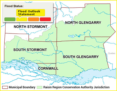
The Raisin Region Conservation Authority monitors precipitation and water levels throughout Cornwall, South Glengarry, and large portions of North Glengarry and South Stormont.
About Flood Forecasting Notices

Normal
No flood conditions exist.

Watershed Conditions Statement - Water Safety
High flows, unsafe banks, melting ice or other factors that could be dangerous for recreational users such as anglers, canoeists, hikers, children, pets, etc. Flooding is not expected.

Watershed Conditions Statement - Flood Outlook
Early notice of the potential for flooding based on weather forecasts calling for heavy rain, snow melt, high wind or other conditions that could lead to high runoff, cause ice jams, lakeshore flooding or erosion.

Flood Watch
Flooding is possible in specific watercourses or municipalities. Municipalities, emergency services and individual landowners in flood-prone areas should prepare.

Flood Warning
Flooding is imminent or already occurring in specific watercourses or municipalities.
In the event of a flood status of anything other than normal, the RRCA will issue a media release and advise our member municipalities.